

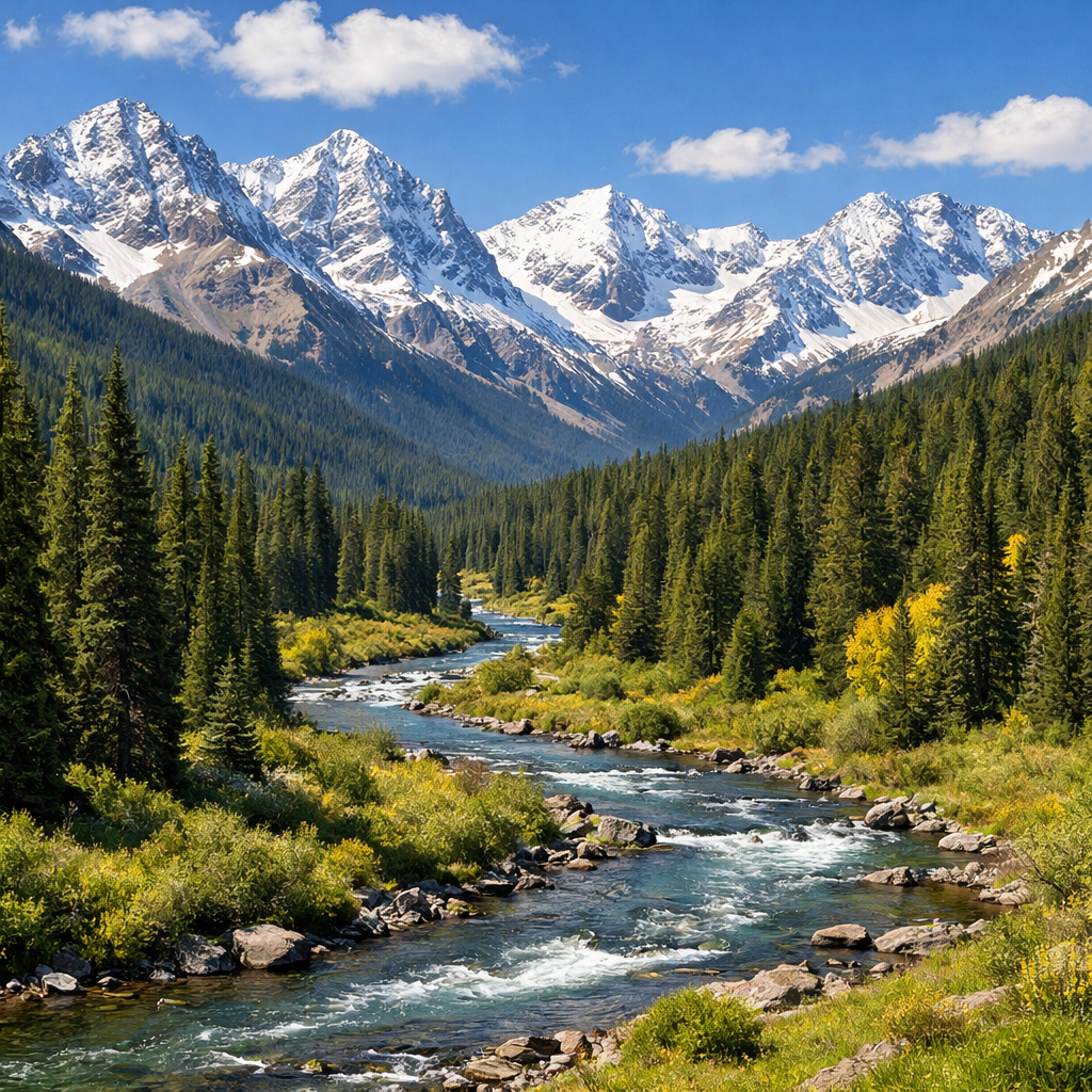
Here in Steamboat Springs, our climate isn’t just about snow and sun—it’s a complex play of elevation, geography, and changing seasons that shapes everything from river levels to wildlife behavior. Understanding how these forces work helps us plan better, protect natural resources, and enjoy what makes our home special.
Climate by the Numbers
Steamboat Springs has what scientists call a warm-summer humid continental climate (Köppen Dfb). That means cold winters, warm summers, and plenty of snow. The official climate normals from 1991-2020 show average highs in July reaching about 83°F; January nights often drop to near 5°F. Annual snowfall averages to approximately 171 inches, while precipitation—snow + rain—total around two feet of water per year. Peaks in snow and rain correspond with elevation and exposure to storms.
What Drives Our Weather Patterns
Elevation and Mountains
Because Steamboat lies in the Yampa Valley surrounded by the Rockies, elevation matters a lot. Higher ridgelines get heavy snow and precipitation, while valleys like ours can experience cold air pooling in winter nights, forming temperature inversions. These inversions trap cold air and also pollutants close to the ground.
Storms and Moisture Sources
Most of our snow comes from winter storms riding in on Pacific air masses that rise over the frontier ranges. In summer, thunderstorms build from daytime heating, drawing moisture from the monsoonal flow and regional moisture sources. Storms can be intense, though often short-lived.
Environmental Trends and Concerns
Yampa River Health & Water Quality
The Yampa River is essential—not just for recreation, but as a lifeline for the ecosystem and our supplies. Rising temperatures, shifting precipitation, growing recreational use, and increased demand all put stress on its flow and water quality. Local governments have adopted streamflow‐management plans to protect its long-term resilience.
Air Quality and Winter Inversions
In winter especially, stagnant air can settle into valleys, trapping moisture, wood smoke, street dust, and fine particulates close to the ground. These conditions can reduce visibility and worsen respiratory issues. Monitoring efforts have been ongoing for decades to track and reduce these impacts.
Wildfire Risk and Watershed Protection
Wildfires remain a concern in Routt County and the broader Colorado Rockies. Burn scars from past fires increase the risk of erosion, water contamination, and damage to infrastructure during heavy rain. Protecting forests and watersheds helps maintain water supplies, soil health, and fish habitat.
What Locals Can Do—and How To Stay Prepared
- Stay informed: weather apps, river gauges, and public awareness posts are helpful, especially before big storms or heat
- Reduce wood smoke: use modern, cleaner-burning stoves, avoid open fires on bad air days
- Support watershed care: planting native species, limiting runoff, helping maintain trails
- Be weather ready outdoors: mountain afternoons bring storms fast, and winter nights bring extreme cold
Steamboat’s climate is one of its greatest riches—but it’s also full of challenges. By understanding the patterns, and working together to steward our rivers, forests, and skies, we can protect this place for generations ahead.